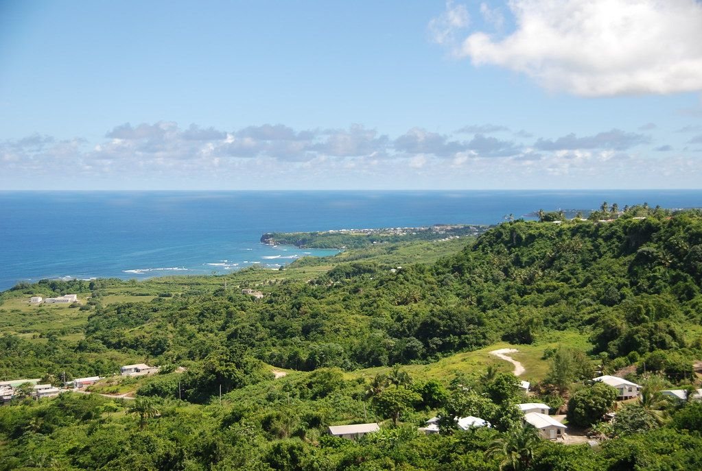
St John sits on a high limestone edge above the Atlantic. You come for the views from Hackleton's Cliff, an old parish church, a college drive lined with palms and roads with little traffic.
| Parish | St John |
|---|---|
| Best for | Walking |
| When | December to May, clear mornings |
| Getting there | Car or bus from Bridgetown |
| Bring | Water, sun hat, walking shoes, binoculars |
St John is one of the smaller parishes of Barbados and one of the quietest. It has no big town and no long beach of its own. What it has is height. The land climbs from the centre of the island to a steep wooded edge, then drops hard to the east coast. From the top you look along miles of surf, hills and fields, and most days you have the view to yourself.
Hackleton's Cliff
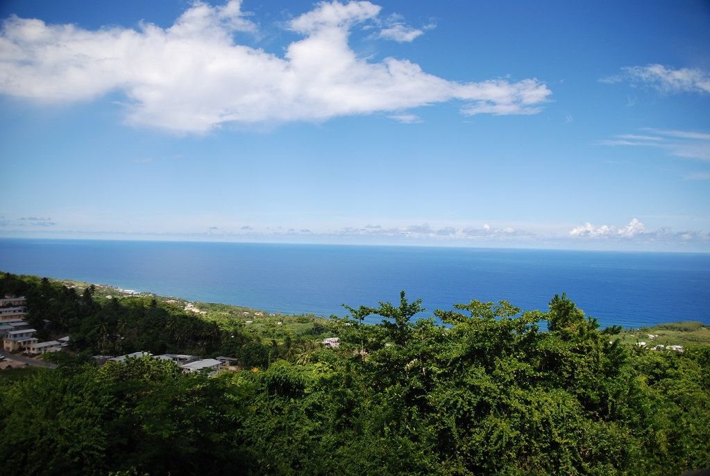
Hackleton's Cliff is the long escarpment that forms the eastern rim of the island's limestone cap. It rises roughly 300 metres above the sea and runs north towards St Joseph. Below it lies the Scotland District, an area where the coral rock has worn away and softer clays show through, which is why the slopes there slip and gully more than the rest of Barbados.
You reach the edge by road and walk the last part. There are few rails and the ground can be loose, so keep well back from the drop, especially after rain. Early morning is the best time for clear air; by afternoon haze and cloud often build over the sea. Binoculars help you pick out the line of the coast towards Bathsheba and the east coast.
St John's Parish Church
The parish church stands near the cliff top in a churchyard of old trees and weathered graves. The present building is a grey stone Gothic church, rebuilt in the 1830s after the great hurricane of 1831 destroyed the one before it. A church has stood on the site since the seventeenth century.
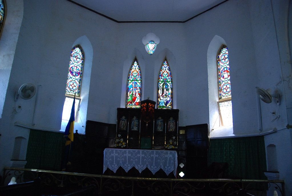
Inside, the walls are plain and pale, with stained glass behind the altar and wooden pews. The churchyard is worth a slow walk. One of its best-known graves belongs to a man who claimed descent from the last emperors of Byzantium, and the tombs of planter families sit among those of later parishioners. From the edge of the yard you get one of the widest views on the island.
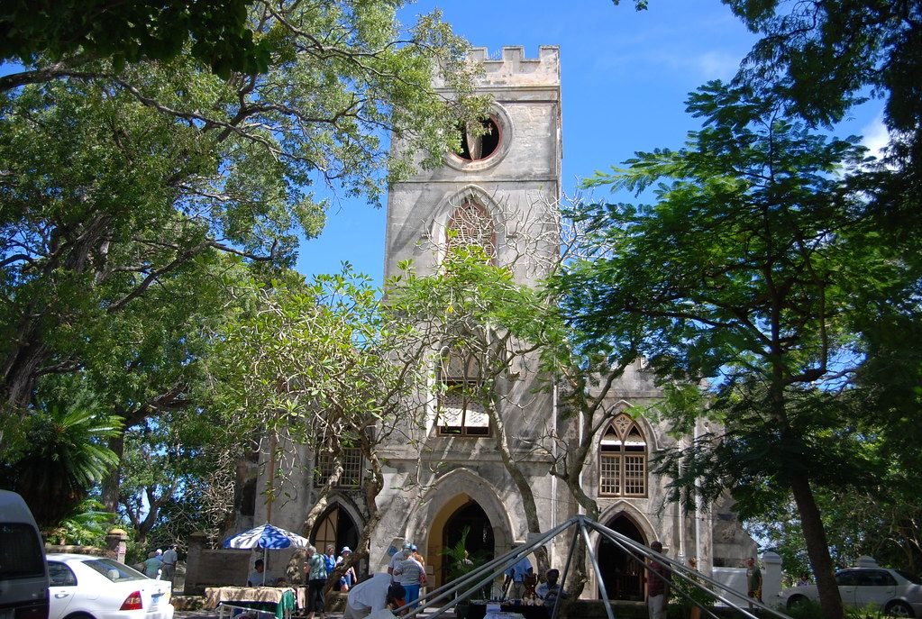
It is a working church. Visit quietly, dress modestly, and avoid service times unless you mean to attend. Opening of the building itself can vary.
Codrington College and its drive
Further down the slope towards the sea is Codrington College, an Anglican theological college. It grew from the bequest of Christopher Codrington, a colonial governor who died in 1710 and left his Barbados estates to a church missionary society. The college buildings were completed in the eighteenth century.
The history needs to be told plainly. Those estates were worked by enslaved people, and the society that owned them kept them in slavery until emancipation. The same pattern runs through the plantation great houses across the island.
Today the approach is known for its long avenue of tall palms leading down to the coral-stone buildings and a lily pond. It is an active college, so the grounds may be closed at times.
Quiet roads and slow days
The pleasure of St John is in moving slowly. Small villages, rum shops at crossroads, cane and pasture, and stone walls built from the island's own rock line the roads, the same material described in coral stone and chattel houses. Buses run from Bridgetown, but services thin out in the country and in the evening, so plan your return.
- Start early for the clearest views.
- Bring water; there are few places to buy it near the cliff.
- Give way on narrow bends and use your horn lightly on blind corners.
Half a day is enough to see the cliff, the church and the college drive without rushing. If you have longer, follow the road down towards the coast and stop wherever a gap in the trees opens a view. The parish rewards people who are happy to wander, pull over and look, and who do not need a list of sights to tick off.