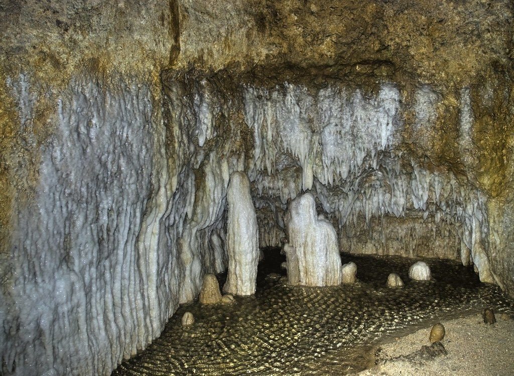
Rainwater has been dissolving the coral rock of Barbados for a very long time. The result is a network of caves, streams and deep wooded gullies under and across the island.
| Parish | St Thomas, St Lucy |
|---|---|
| Best for | Gardens |
| When | Year round; drier months easier |
| Getting there | Car or bus to St Thomas |
| Bring | Closed shoes, light jacket, insect repellent, water |
Most of Barbados sits on a thick cap of coral limestone. Rain falling on it picks up a little carbon dioxide from the air and the soil, which turns it faintly acidic. Over a very long time that water has seeped down through cracks in the rock and dissolved it, opening channels, caves and underground streams. Much of the island's drinking water comes from these hidden aquifers.
Where cave roofs have collapsed or water has cut down through the rock, you get gullies: steep, narrow valleys full of trees, often the only places on the island where something like the original forest survives. Caves and gullies are two sides of the same process, and a visit to both shows you how the island works underneath.
Harrison's Cave
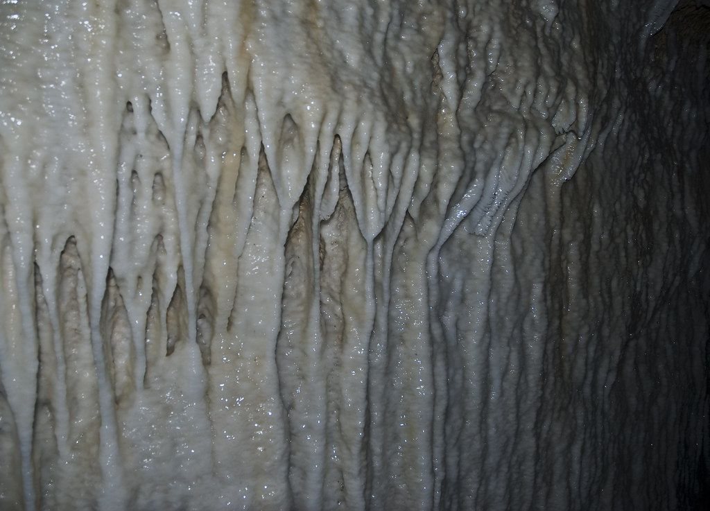
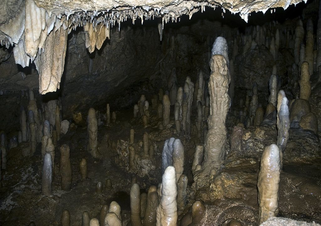
Harrison's Cave in St Thomas, in the central uplands, is the best-known cave on the island. It is a show cave, with walkways, lighting and a tram that carries visitors through large chambers. Inside you see pale stalactites hanging from the roof, stalagmites rising from the floor, flowstone on the walls and clear streams and pools.
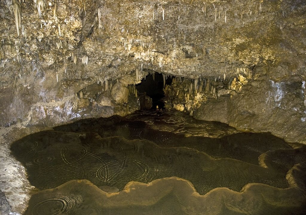
The formations grow as water drips and leaves a thin layer of calcite behind, a process measured in centuries. Touching them leaves skin oils that stop that growth, which is why you are asked to keep your hands to yourself.
Tour types, times and prices change, and some options need booking. The cave is cool and damp inside compared with the heat at the surface, and floors can be wet.
Welchman Hall Gully
A short way from Harrison's Cave is Welchman Hall Gully, a long, deep cleft in the limestone that is thought to have formed when the roof of a cave fell in. A path runs along its floor under a tall canopy of trees, palms, ferns and creepers. Some of the trees are native; others were planted in the past, including spice and fruit trees.
Another noteThe plantation great housesIn places you can still see stalactites and the stumps of old cave formations on the gully walls, a reminder of what it once was. The air is cool and shaded, and birds are easy to hear. Green monkeys live in parts of the island's gullies and are sometimes seen here, though you cannot count on it. A viewpoint at one end looks east across the island towards the coast and the high ground of St John.
The gully is in public care and open to visitors, with hours and entry that may change. Paths can be muddy after rain, so wear closed shoes and bring repellent.
Animal Flower Cave
At the far northern tip of the island, in St Lucy, the Animal Flower Cave is a sea cave carved into the coral cliffs by the Atlantic. Steps lead down into chambers whose openings look straight out over the ocean. The cave takes its name from the sea anemones that live in its rock pools and close up like flowers when touched.
Whether you can go in depends on the sea. In rough weather, waves wash into the cave and it closes. On calm days some pools are shallow enough for a careful dip, but the rock is sharp and slippery, and the sea outside is as dangerous as anywhere on the east coast.
- Harrison's Cave and Welchman Hall Gully are close enough to see in one morning.
- The north coast takes longer to reach; Barbados drives on the left and country roads are slow.
- Bring a light jacket for the cave and water for the gully.
The same limestone you walk through underground is the stone of the island's walls and houses, covered in the note on coral stone and chattel houses.